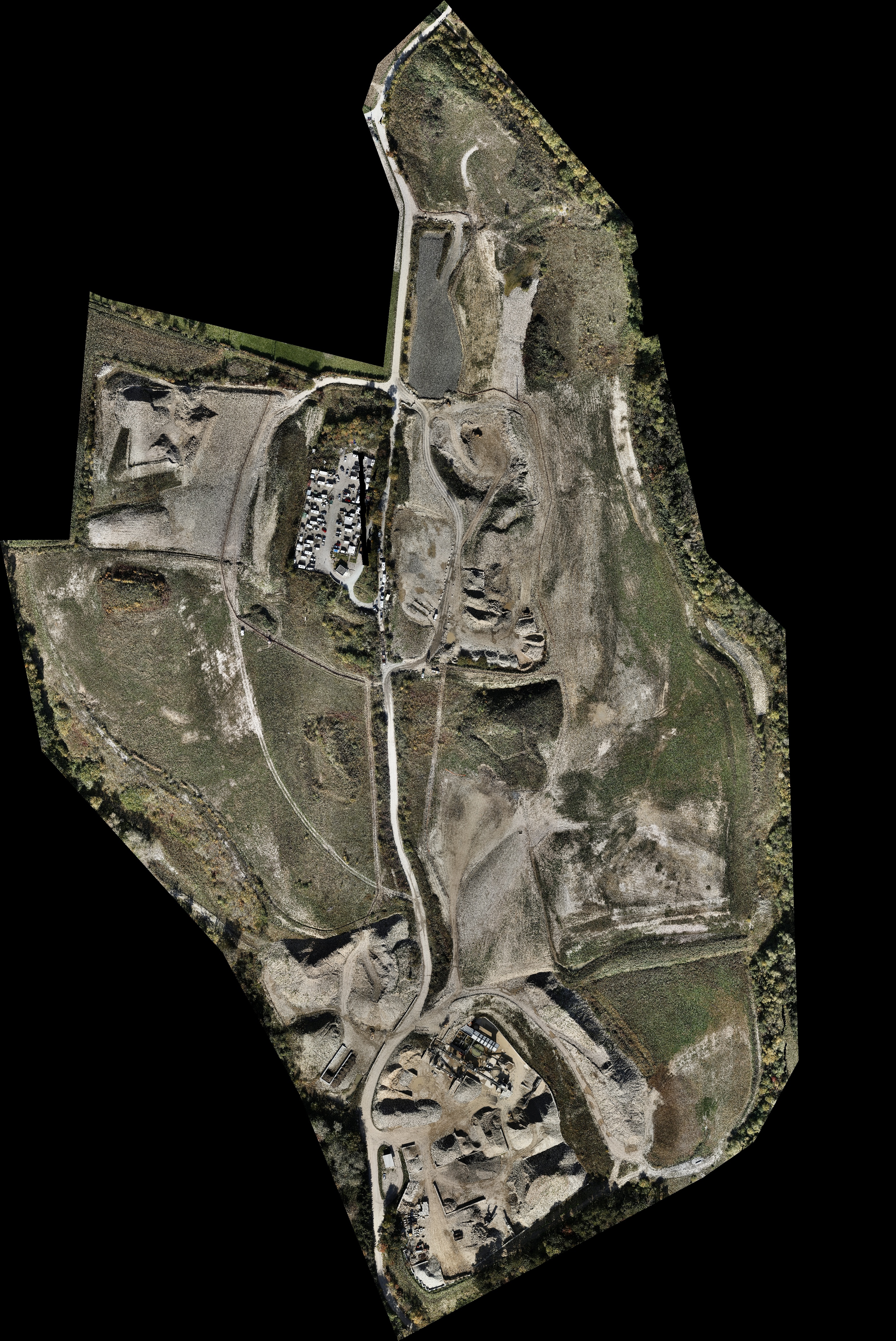
Land surveys
Using our models, you have all the data about your land at your fingertips.
We conduct lidar-sensing drone surveys, offering a clear view of large expanses of land – even with heavy vegetation.
Using GCPs on the ground and integrating the data we collect, we can georeference the model according to the required coordinates with the precision you need (RGF93-CC, WGS84, and others).
In the post-treatment phase, the data is processed to remove the vegetation and reveal the digital elevation model (DEM). This gives you a clear view of the natural relief, facilitating a wide range of applications from cartography and town planning to natural resource management and infrastructure planning.
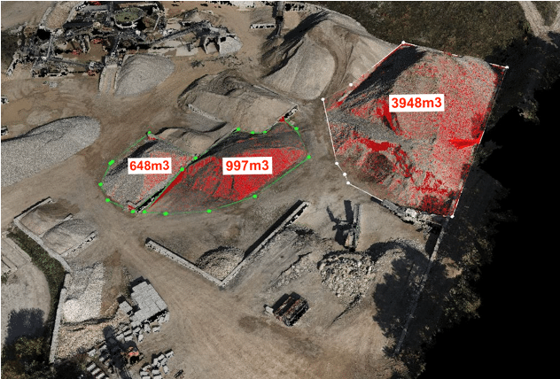
Our teams of experts can even offer photogrammetric and lasergrammetric data treatment, giving you the best data in the format you need
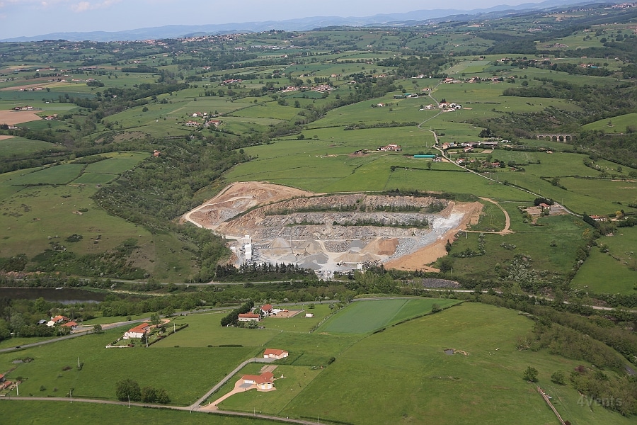
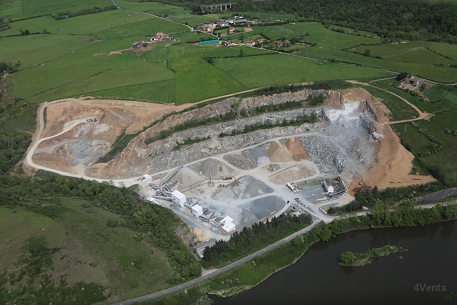
Surveys of quarries – uneven land – large areas – inaccessible zones
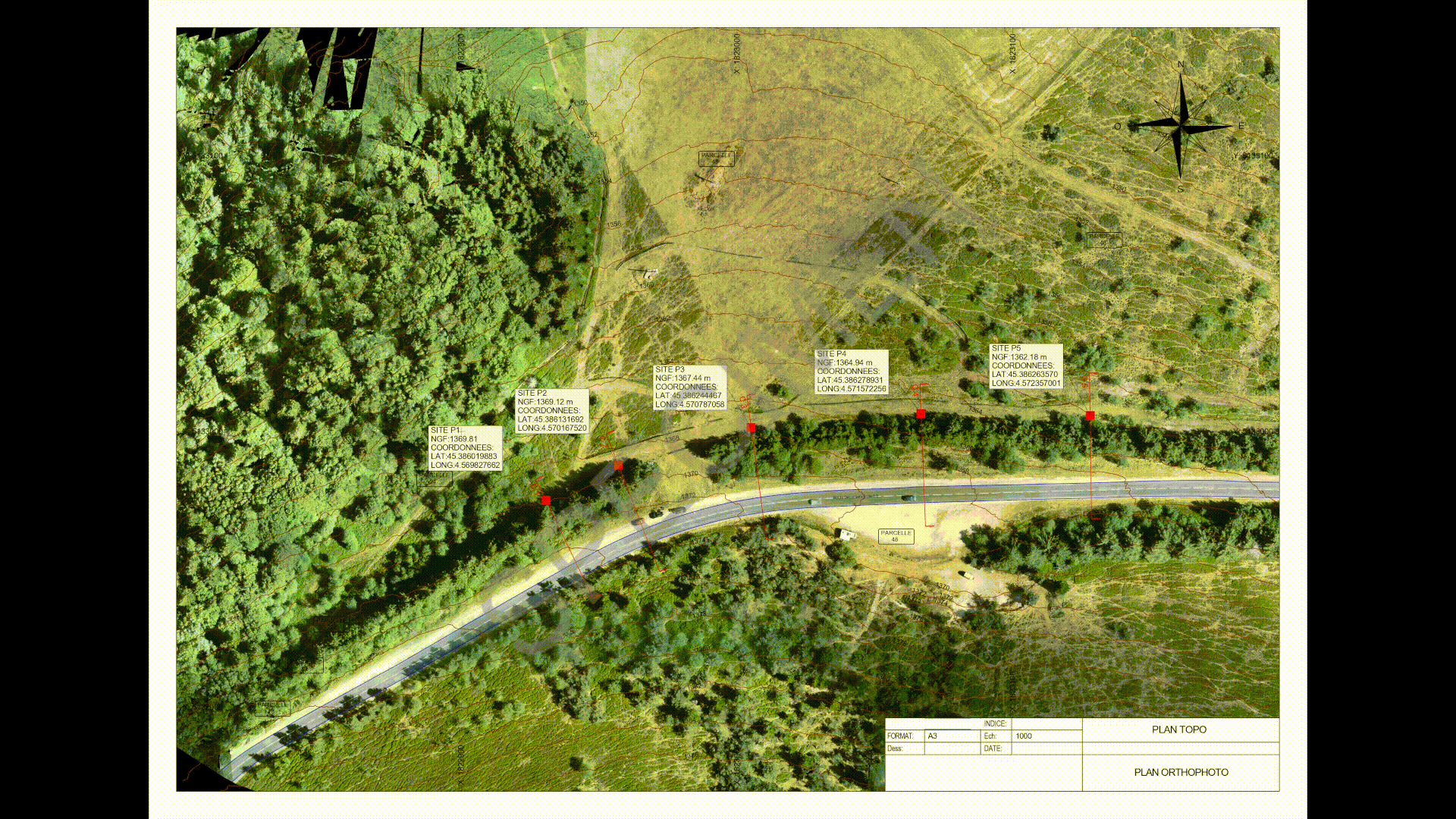
Creating the deliverables you need: We provide the digital supports you want:
- Cleaned, classified, and georeferenced point clouds
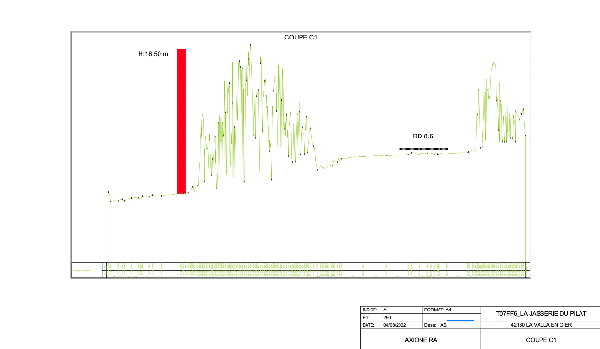
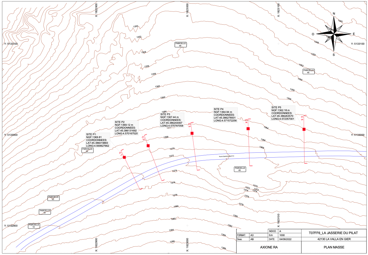
- DEM, DTM
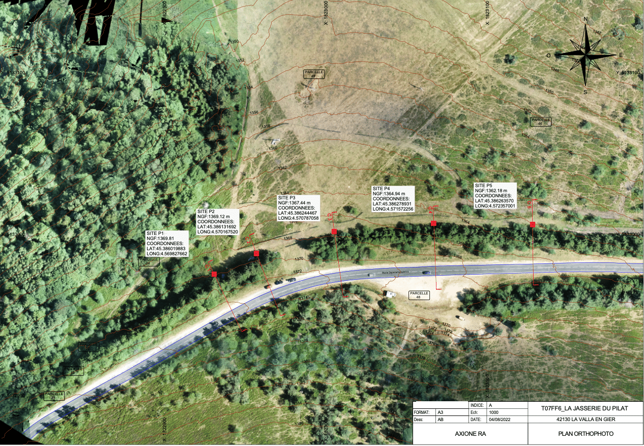
- Orthophotography
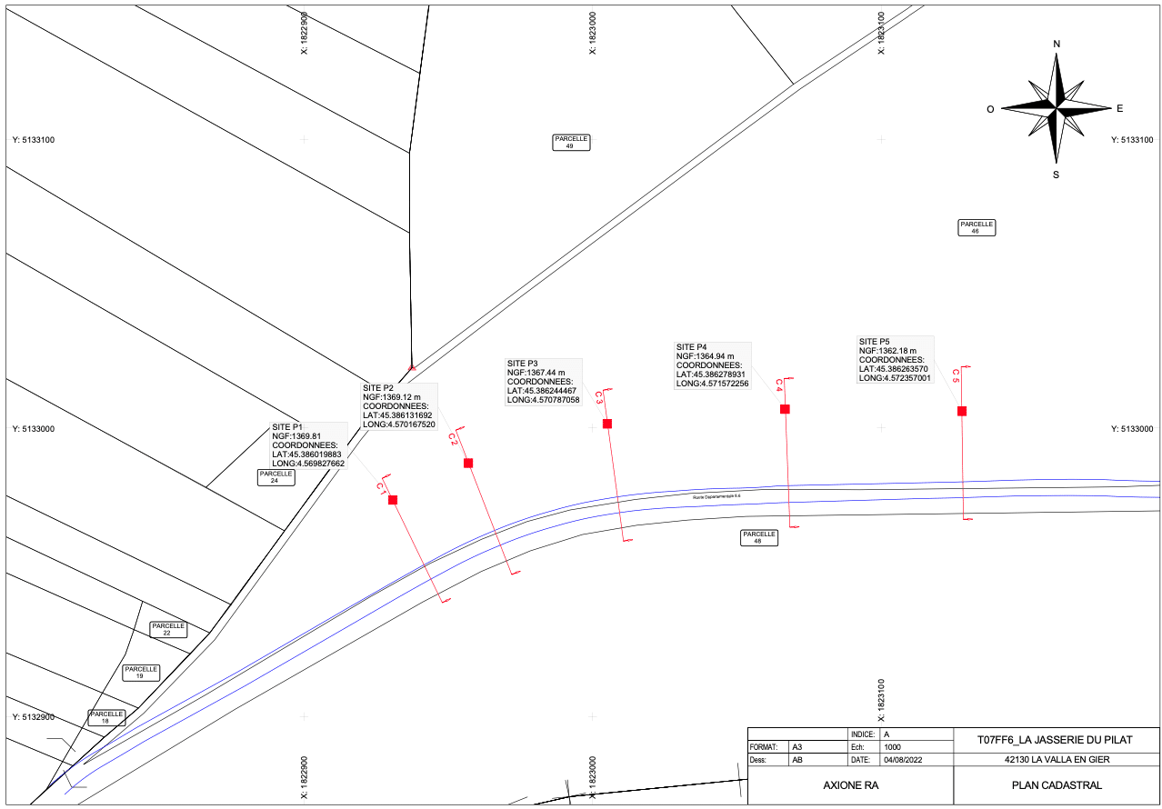
- 2D plans
- Topological plans (level curves, cubic volumes, ordnance survey, etc.)